North Carolina & Georgia Border Wars
Few counties today have their original configurations. As the non-Indian population grew and spread across the continent, territories and states created new counties and changed those already in existence. The average number of changes in size, shape, or location per American county is between four and five; some counties were changed more than two dozen times. Most boundary changes were alterations of the lines between existing counties, not the results of creating new counties from old ones. – Atlas of Historical County Boundaries
County boundaries change and whole counties appear—and disappear—over time, posing challenges to demographers and other researchers trying to create a historical record of county-level data. While examining a historical county population file from the U.S. Census Bureau, I found an entry for Walton County (population 1,026) in 1810. This is the only year the county appears in North Carolina data, and the Census Bureau remarks “The [North Carolina] population for 1810 includes Walton County, enumerated as part of Georgia although actually within North Carolina.” No other information about Walton was included in the file.
Where did Walton County come from? Where did it go?
Typically, county boundary redefinition is a peaceful process. But, in 1804, a dispute between North Carolina and Georgia led to armed conflict and violence.
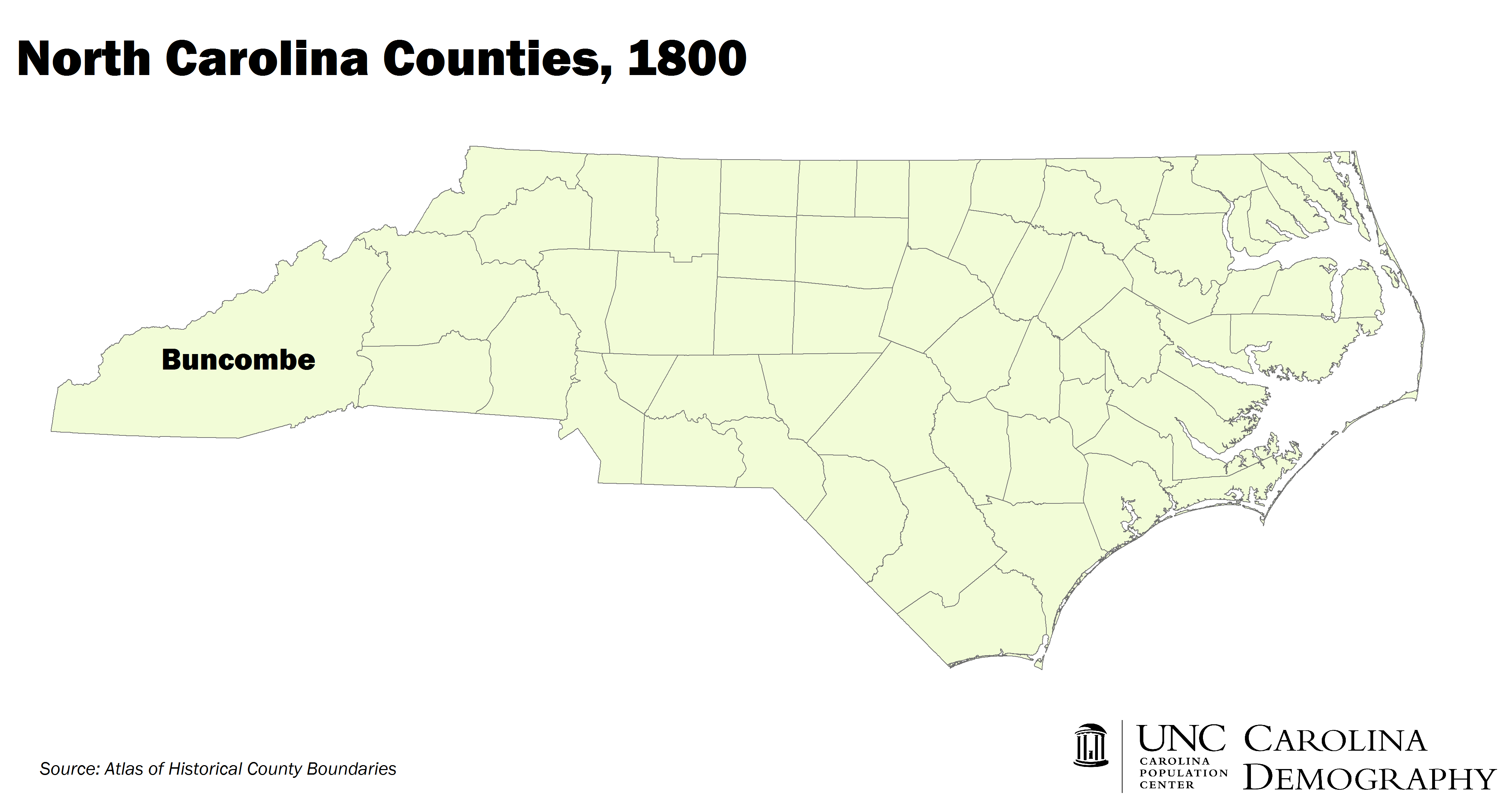
Known as the “Walton War,” the dispute arose over a poorly defined portion of land in the south of what was then Buncombe County. Called the “Orphan Strip,” the land had a series of owners over a short time period: originally claimed by South Carolina, they ceded it to the federal government in 1787; the federal government gave it to the Cherokee; in 1798, the Cherokee returned the land to the federal government; and, in 1802, the federal government ceded this land to Georgia. Between 1798 and 1802, however, this territory had no direct state control, and individuals with land grants from both South and North Carolina began to settle there.
Georgia established Walton County on this land in 1803. Some claim this was in response to petitions from settlers for protection of their land rights; others say it was due to “inter-state rivalry” and desires for state expansion. Regardless of the impetus for Georgia’s action, settlers with South Carolina land grants embraced the new government while North Carolina residents refused to acknowledge its authority.
The short-lived crisis occurred in December 1804, when, UNC librarian Harry McKown writes, “Walton County officials and their supporters attempted to intimidate and possibly dispossess several outspoken partisans of Buncombe. In response, Buncombe County called out the militia.” The conflict resulted in the death of one person, Buncombe County constable John Havner, although McKown notes:
Stories of the Walton War grew over the years creating a legend of the conflict in which truth and fiction freely mixed. In the legend, dozens of Georgians died in pitched battles with North Carolina militia. The frustrated farmers of Walton County, worried about the legality of their land grants, became, in some stories, bands of vicious desperados inhabiting a “no man’s land” beyond the law.
Although “the Walton County government was effectively crushed,” North Carolina and Georgia continued to dispute the territory and Walton County was enumerated as part of Georgia in the 1810 census. Georgia did not fully cede its claims until 1811 when Andrew Ellicott, a Georgia-born surveyor, confirmed the 1807 findings of a joint team from UNC and the University of Georgia: the entirety of the Orphan Strip and Walton County were inside North Carolina’s boundaries. Today, the former Walton County is part of Transylvania County.
Your support is critical to our mission of measuring, understanding, and predicting population change and its impact. Donate to Carolina Demography today.